
How we are creating the largest-ever database on floating ocean plastic using smart cameras
Back to updates- Last week, we published a new paper about the Automated Debris Imaging System (ADIS), the technology we use to map large floating plastic items at sea.
- This paper, which covers the first five years (2019-2024) of ADIS operations examines, along with the first 14,500 km2 of global ocean surface we have scanned for plastic debris, the more than 20,000 large floating objects it has helped us identify.
- This is a major step forward towards ridding the world’s oceans of plastic, helping us to understand the location, density, and movement of plastic in the ocean and map it, so that we can use this data to help clean the oceans more efficiently.
Why ADIS matters
We already know a lot about the Great Pacific Garbage Patch (GPGP), but we have limited information about specific details, such as how large plastic items concentrate in spatial scales smaller than 100 km. Large floating plastic is exactly what our cleanup systems are built to collect, yet it’s the size class we understand the least about. The existing methods for sampling large plastics – visual observation and mega trawls (where we tow a wide-aperture net to capture large debris) – can only cover a limited stretch of ocean at a time. Therefore, we set out to develop a method that can cover large areas of ocean while also being able to detect large plastics, all this at a low cost – this is where ADIS comes in.
From a single GoPro strapped to a railing to a global collaboration
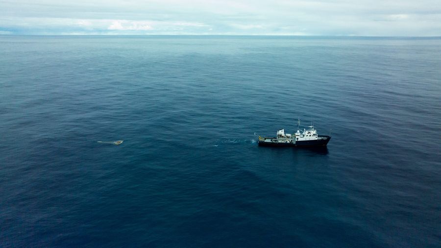
As early as 2018, we started with a simple setup with GoPro cameras and powerbanks. We were making aerial scans of plastic using drones in the GPGP, but we realized we were wasting an opportunity every time the cleanup vessel was moving from A to B. Simply strapping a camera to the ship’s railing, pointing it at the sea surface and letting it run resulted in a very efficient data collection. Collecting all the previous examples of floating plastics possible, we fed this data into an object detection AI. This was our first proof of concept.
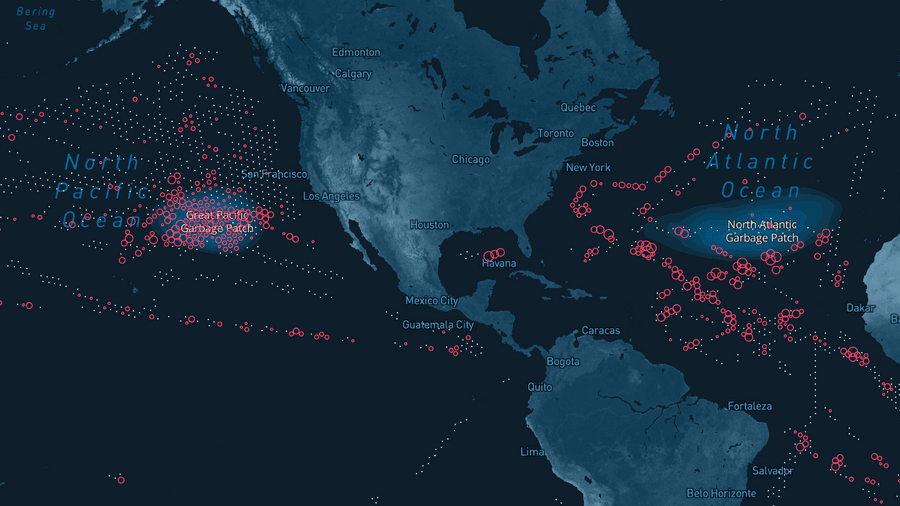
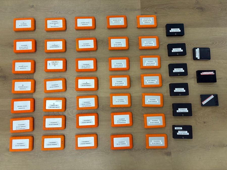
To expand our data collection, we started sending out camera kits to collaborating researchers and institutions. We also mounted these kits as standard equipment during our own cleanup missions to the GPGP. Each expedition resulted in a hard drive full of images. Between 2019 and 2024, we collected 165TB of ocean scans worldwide – 27 million photos in total, gathered from ships crossing the North and South Pacific, North and South Atlantic, and Indian Oceans.
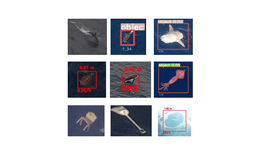
Over months at a time, we fed millions of images to our AI model, which recognized and extracted images with objects from the dataset. From these objects we could identify a vast array of plastic and where they were recorded, but also sunfish, penguins, squids, turtles.
What did we learn?
Moving from a proof of concept to a trustworthy global dataset required a better understanding of the quality of ADIS observations. For example, how did ADIS compare with physical samples from mega trawls? To address this, we organized a dedicated ground-truthing mission in the summer of 2022. For two weeks, we deployed smaller Manta trawls, as well as mega trawls, GoPro cameras, and a tethered drone in parallel. This let us compare directly what the cameras ‘saw’ against what the trawl nets caught.
We found that ADIS was missing four or five out of six physical objects. While that may sound bad, this ratio is consistent, and we can use it as a correction factor. In other words, multiplying ADIS’s raw counts by 5-6x, the numbers lined up with what trawls would find. Bigger objects over 50 cm turned out to be a bit easier to spot than mid-sized ones (10-50 cm), as they used more pixels in the frame.
The missed items can largely be explained by material and color: while the cameras are good at spotting bright colors that are different from the ocean’s color, such as white, gray, red, yellow, orange, the cameras struggled detecting black, blue and green items which blend into the water, especially when partly submerged or at a distance. Apart from color, fishing nets and ropes turned out to be poorly detected. The color of fishing gear being predominantly black, blue and green, reinforced this limitation.
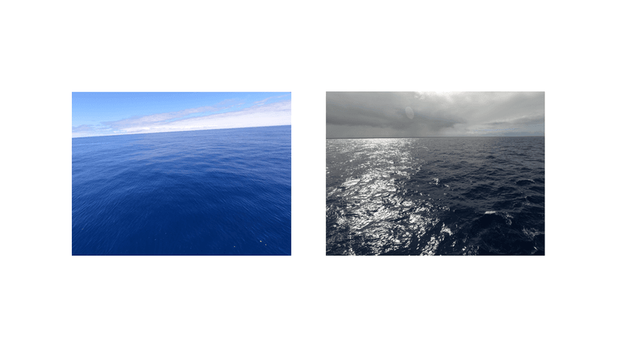
Finally, we discovered that lighting and speed affected the detection rates as well. Glare and reflections from the sun when low and in front of the camera make objects hard to spot. Cameras looking away from the sun improve performance lots. Also, every extra knot of sailing speed introduced around a 4% drop in detected debris, because faster-moving cameras have less opportunity to see a patch of water repetitively.
Knowing these blind spots made it possible to correct them. What’s more, ADIS and the mega trawl agreed on where plastic was concentrated. Both methods picked up the same peaks and dips in debris density as we moved through the GPGP. Because a camera can scan a wider swath compared to the sampling area of a trawl net, its measurements have less statistical noise than the trawl data, even when missing more individual objects.
What ADIS means for our mission
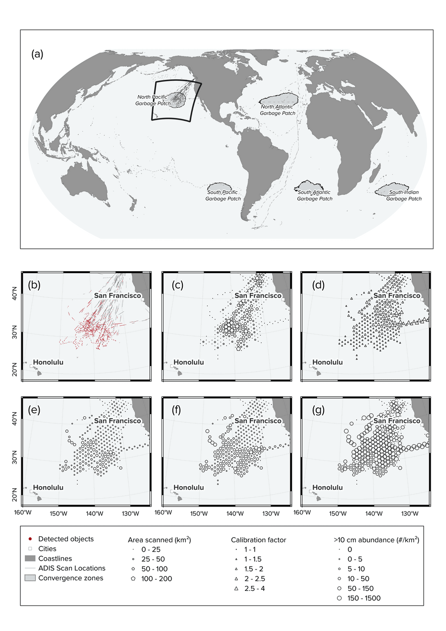
By combining these calibrations with the vast amount of data we have collected over the years, we can now produce a statistical and continuous map of plastic abundance across the GPGP – the first of its kind produced from direct camera observations. The full dataset has been made available in open access, available for other researchers working on ocean plastic pollution.
This new data allows us to assess the accuracy of our dispersal models and improve them. These dispersal models, together with ADIS data and onsite UAV observations, are key to a more sophisticated routing strategy for our future cleanup systems, leading to higher plastic catch and less overall emissions.
The future is already here: Meet ADIS2.0.
While the current paper publication deals with all data collected by our GoPro setup, we have also been collecting data worldwide with a new version of ADIS since 2024: ADIS 2.0. In fact, ADIS2.0 automates the processing and offloading of data and is suitable for long-term deployments without relying on experts to maintain it. As a result, ADIS2.0 has quietly been collecting even more data than ADIS1- and if you’re interested, you can take a look at our online data collection map to watch our data collection grow ). If we keep running and expanding ADIS2.0 long enough, it will allow us to create not only a static but a periodic map of plastic around the world, making it possible to compare between years and investigate trends over time.
Not bad for something that started off seven years ago as a GoPro zip-tied to a ship’s railings!
With this latest publication, we have released the largest calibrated dataset of large floating plastic: 14,500 km2 of sea surface, over 20,000 validated large plastic objects.
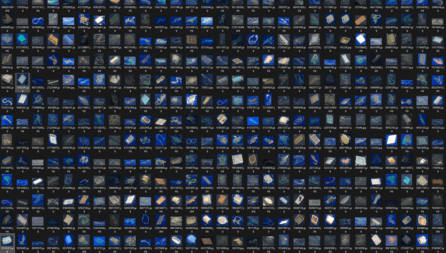
That is just the start.
As ADIS2.0 is already outperforming the pace of scanning, we are creating the new version of this map even faster than before – in the past two years we’ve already mapped an extra 39,431 km2, bringing it up to almost 54,000km2 overall The open-access results not only allows The Ocean Cleanup to better understand the GPGP but it also allows other researchers to study the same dataset and map other garbage patches as well.