Integrating New Technologies to Tackle the Great Pacific Garbage Patch
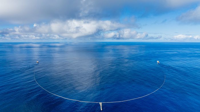
Back to updates- Ever since we extracted our first plastic from the Great Pacific Garbage Patch (GPGP) with System 001 in 2019, we have sought to develop more efficient ocean cleanup systems.
- To enter the next phase of our ocean operations and scale up our efforts, there remains one major challenge to overcome: maximizing the amount of plastic we find and remove in our time at sea.
Identifying Plastic Hotspots
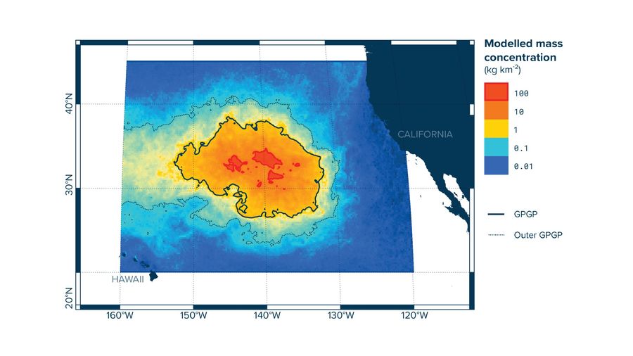
From our research we know that plastic accumulates into localised areas of high density – so called ‘hotspots’, but the difficulty in reliably hunting these comes from a combination of factors.
Firstly, there is a lack of real-time data on where the worst areas of plastic pollution are. The ocean is a vast space and monitoring at this scale is much more challenging than in a river where the flow of water (and waste) is focused in a smaller area. Secondly, the ocean is constantly on the move, which means that just seeing plastic is not enough – its future movements must be predicted for a cleaning system to be able to find and intercept it.
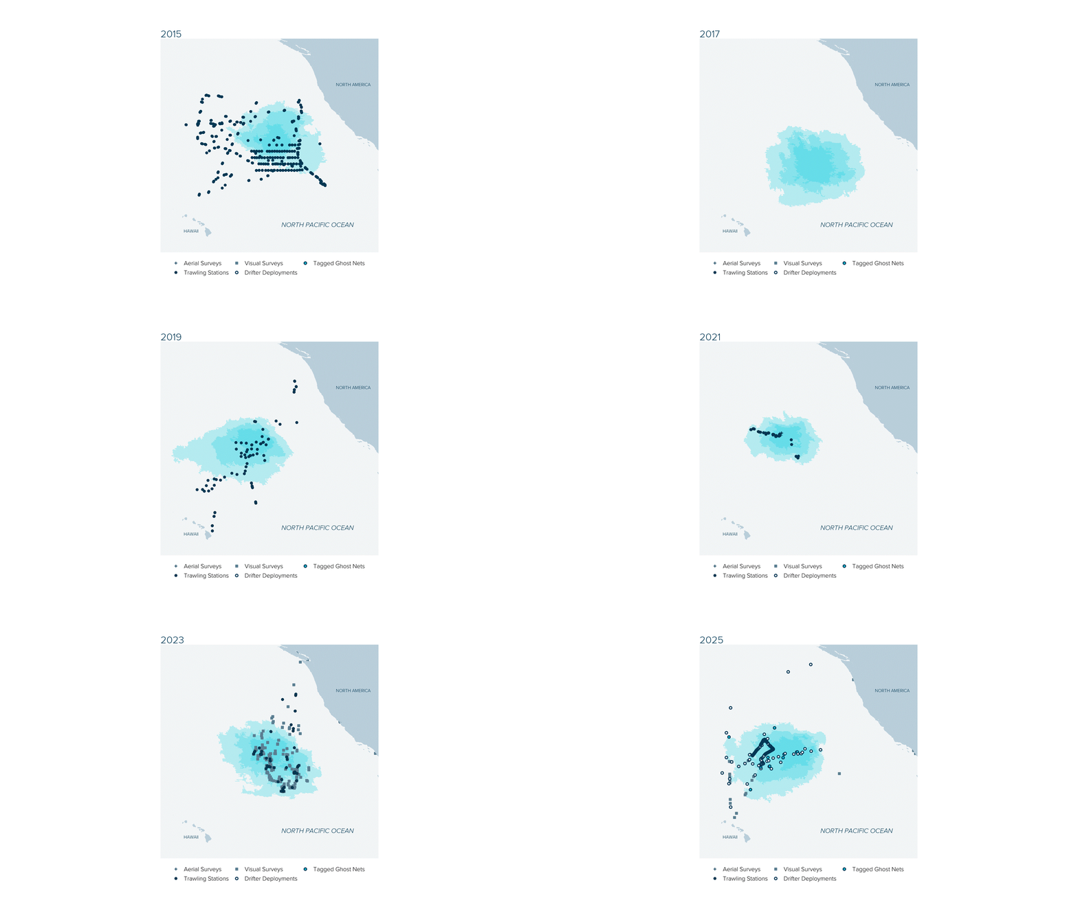
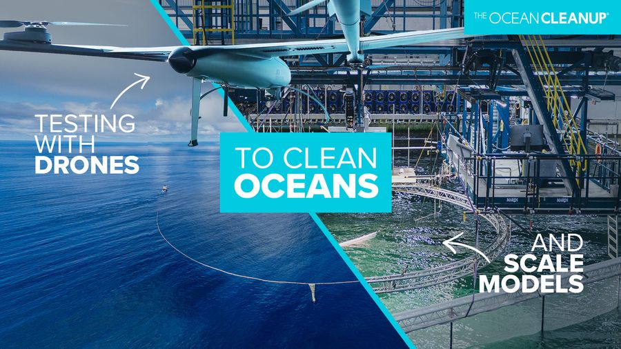
During the last few years, we’ve developed a strategic and technical approach we’re really excited about: the Smart Steering Strategy. This approach combines all our knowledge of the GPGP’s natural conditions with the latest computational models of the Pacific, and the use of unmanned aerial drones to map plastic in real time. The 2026 Pacific Data Expedition happening through July and August of this year will be the first time we test the Strategy in the GPGP and evaluate its impact and how we can integrate it with cleaning systems.
The 2026 Pacific Data Expedition will depart from Port Alberni on Vancouver Island in the coming days. Onboard will be a team of specialists and researchers from The Ocean Cleanup who will spend six weeks putting this new strategy to the test and continue our ongoing efforts to monitor natural conditions and the impact of plastic pollution on marine life.
How does the Smart Steering Strategy work?
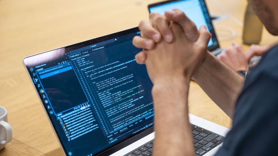
The Smart Steering Strategy will give us a weather forecast for plastic hotspots which helps us to position our cleaning systems and maximize our cleanup efforts. By looking ahead up to a week, we can use modelling of the Pacific to predict the movement and location of the GPGP using wind and wave data, sea-surface current measurements, and positions received from floating GPS marker-buoys.
Using these models and sophisticated route-planning algorithms we can plot a general path for the ship to move where we expect hotspots to be. However, just like a weather forecast, the complexities of our natural systems mean things get tricky when you try to make predictions more than a few days in advance. This means that we must work differently when planning routes over a limited time span, up to 48 hours, to chart the most efficient cleanup paths.
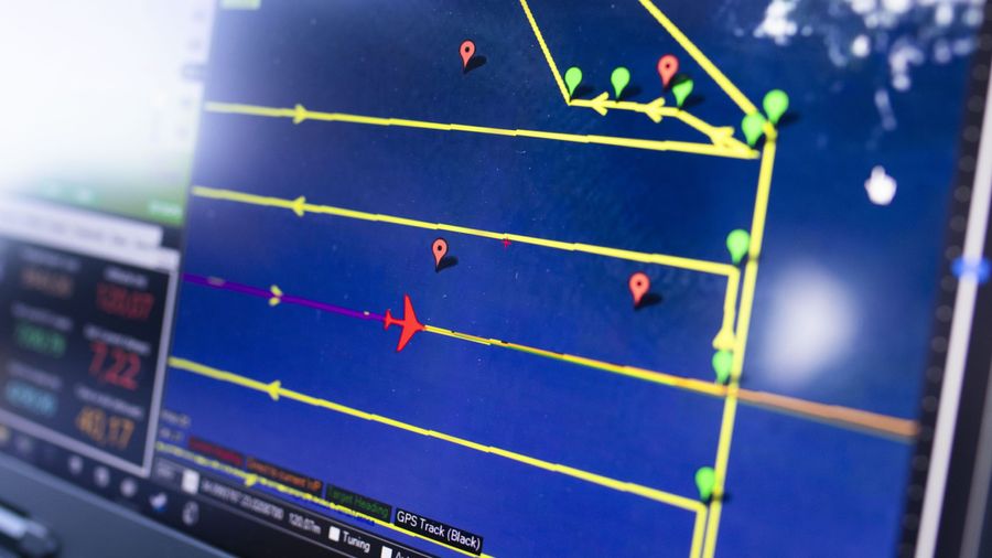
In the future, we expect to use this strategy with cleaning systems at scale, and intend to use aerial drones equipped with cameras which can detect plastic directly. These cameras incorporate object-detection software like that used for our ADIS technology and in our Smart River Survey. The drones will fly ahead of the ship, mapping the distribution of pollution in real-time and providing that information to the vessels so they can alter course to maximise our catch and impact.
The technology behind this approach has been trialled and proven in initial testing in 2025 and early 2026. Simulations show the potential for ‘drone-assisted-navigation’ to multiply the impact of our cleaning systems by a factor of 2 times or more.
Now, it’s time to take test the strategy in the Pacific for real. As this journey unfolds we’ll be sharing our successes, learnings, and challenges along the way; with the sole certainty that has inspired this organization since day one – we will not stop until the job is done.