How The Ocean Cleanup’s Smart River Survey is mapping solutions to river pollution
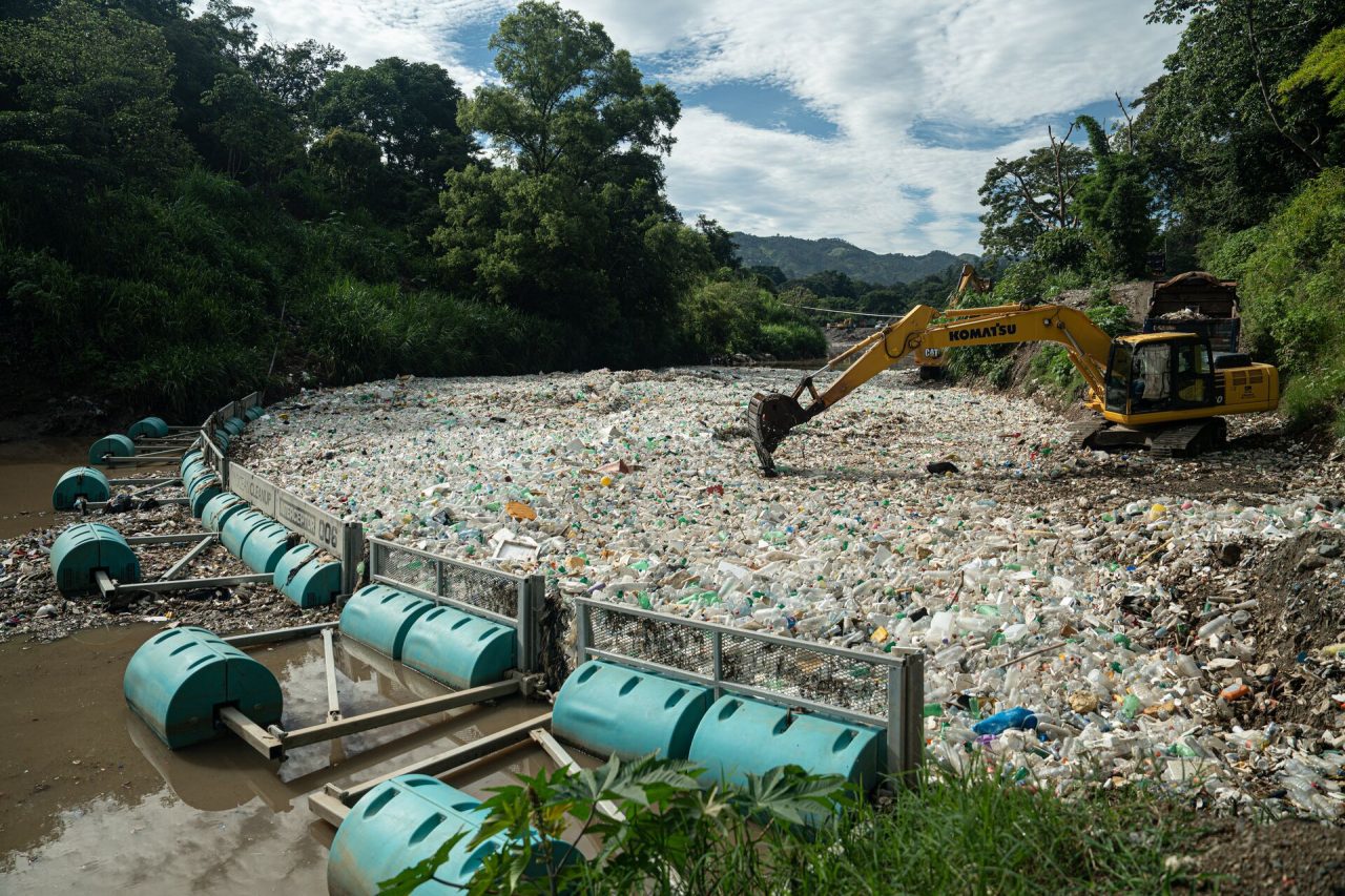
Back to updatesBehind every Interceptor deployment, there are several months of research, due diligence, and discussions with local authorities and communities to gain a better understanding of how pollution is flowing through the river, and where we can have the largest impact. To implement a long-term solution to plastic pollution, you need to understand the problem inside and out. You need data.
As part of the 30 Cities Program, we need to ensure rapid, efficient, and impactful deployments at scale. Not only is data collection critical to this scale up, but the framework to collect it needs to be robust, replicable, and yield actionable insights. This is why we created a new tool: the Smart River Survey.
Smart River Survey
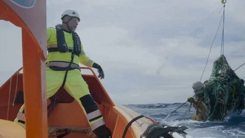
The Survey is a process which provides a comprehensive overview of riverine plastic pollution within a city and enables us to tailor solutions which fit individual contexts. It is one of the first processes we implement when in a new location. We use a range of technologies including drones, AI-enhanced remote-sensing cameras, GPS drifters, and global data registries. This is combined with research and information from our local partners, which contextualizes the pollution problems the city faces.
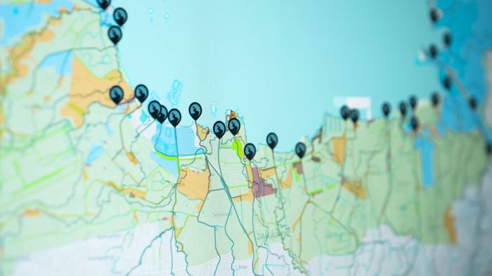
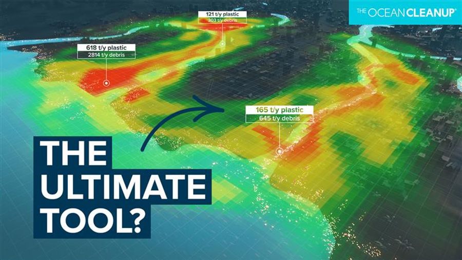
One of the results is an interactive map which provides decision-makers with crucial measurable metric related to river pollution. From this map we can visualize and interpret complex information with relative ease and identify the most impactful locations for a solution to be deployed. The Smart River Survey is able to map not just the problem, but also a range of solutions.